Spatial characterization of the bovine livestock in the Colombian Orinoquia
Caracterización espacial de la ganadería bovina en la Orinoquia colombiana

Show authors biography
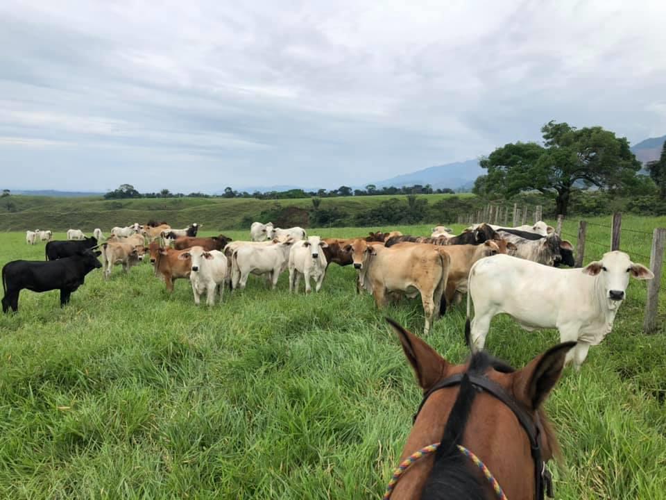
Objective. Use Geographic Information Systems (GIS) as a complementary tool to characterize cattle farming in the Orinoquia region. Materials and methods. Through the use of space technologys, information concerning the livestock orientation, physiography, vegetation cover and land registry of the study zone was collected for further analysis over Microsoft ACCESS software. Results. In a high percentage of the cattle ranches located in the four departments (Casanare: 72.7%, Meta: 49.5%, Arauca: 42% and Vichada: 32%) the cover of pastures, grasslands and secondary vegetation predominates, confirming the expansion in the agricultural border that has had the cattle activity in the country. Conclusions. The use of complementary tools such as GIS allows for better planning and efficient distribution of resources to improve the functioning of production systems, for example, in zones where the predominant coverage matrix is grasslands, strategies in pro of sustainability can focus on the implementation of silvopastoral systems, contrary to what would happen in areas where the matrix has a high percentage of natural forests.
Article visits 1716 | PDF visits
Downloads
Information